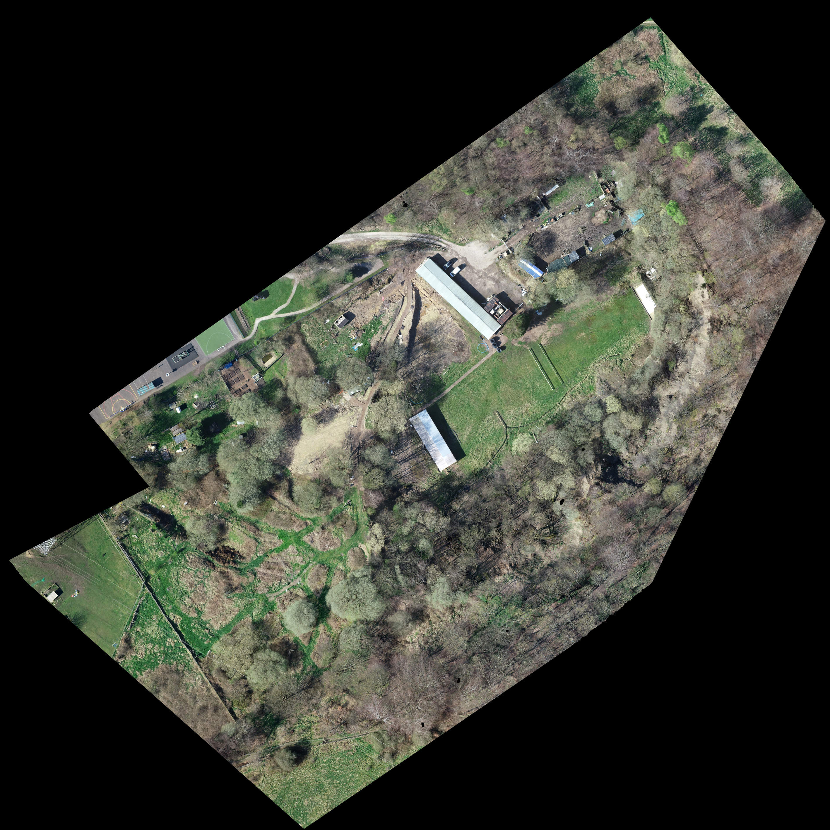
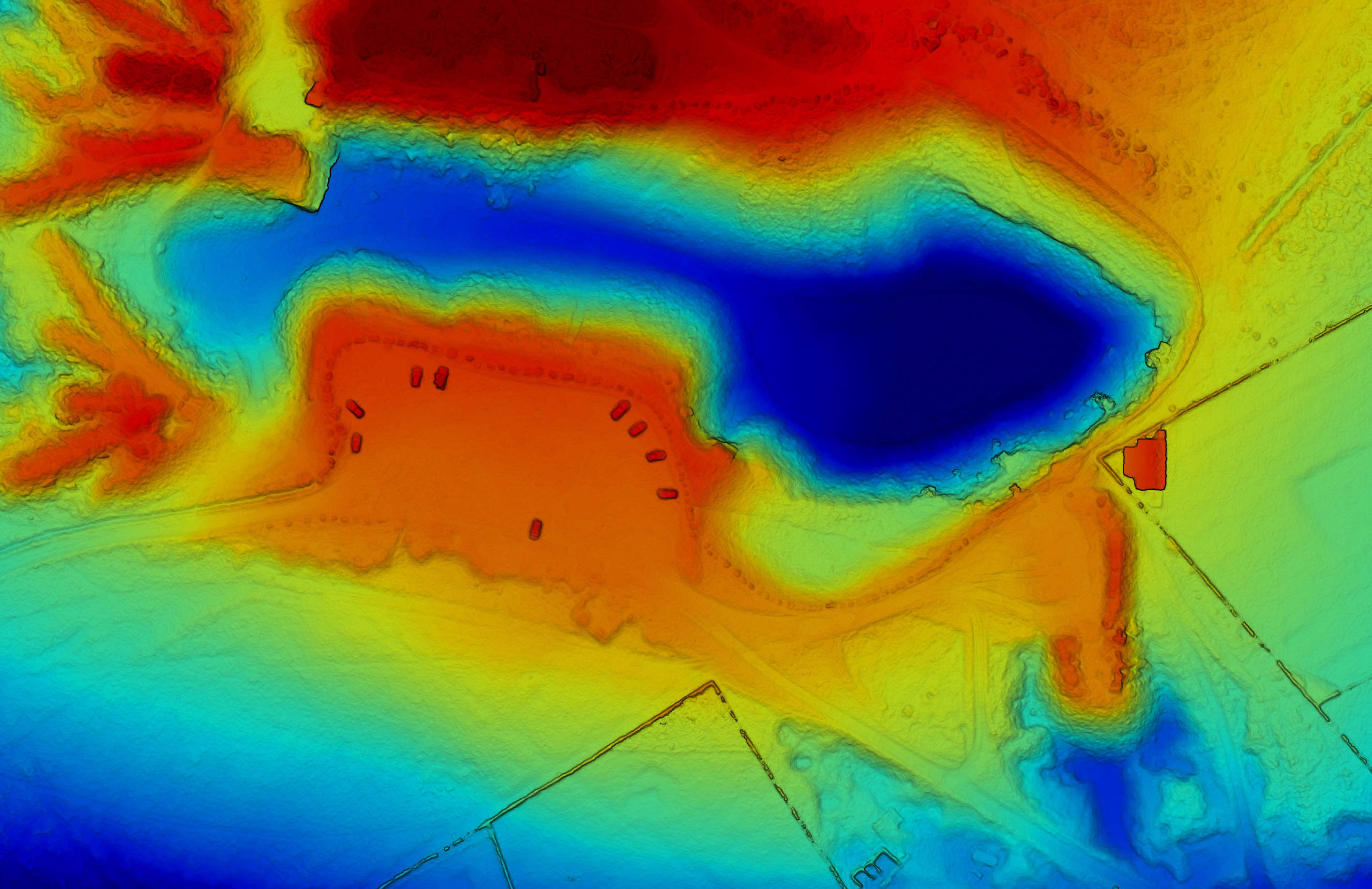
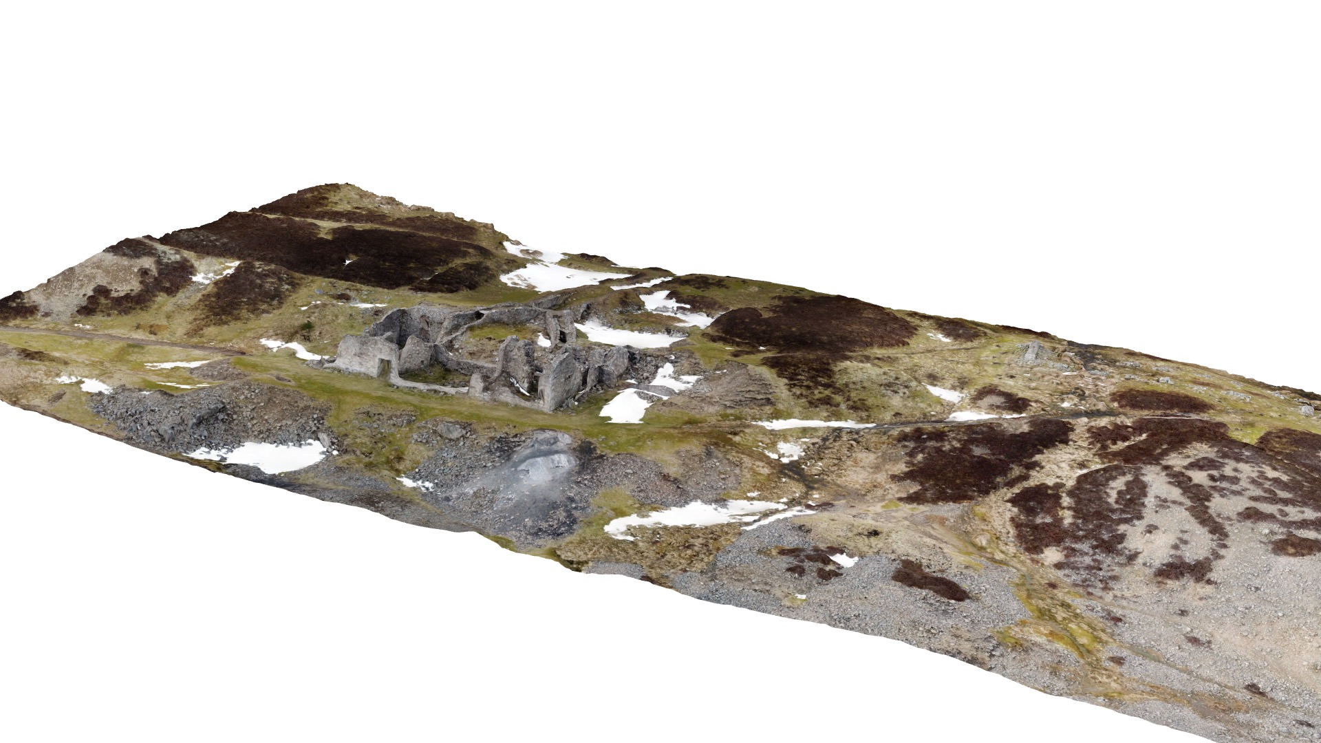
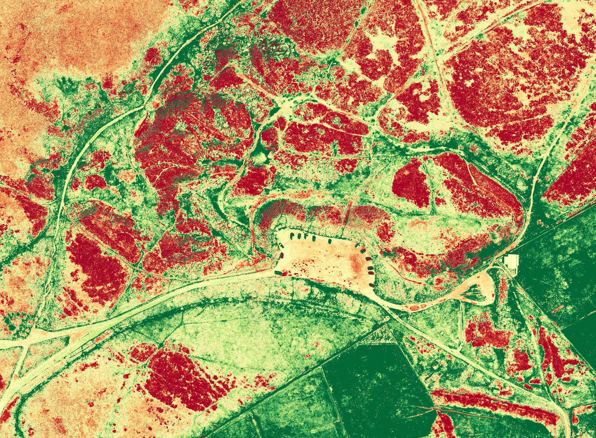
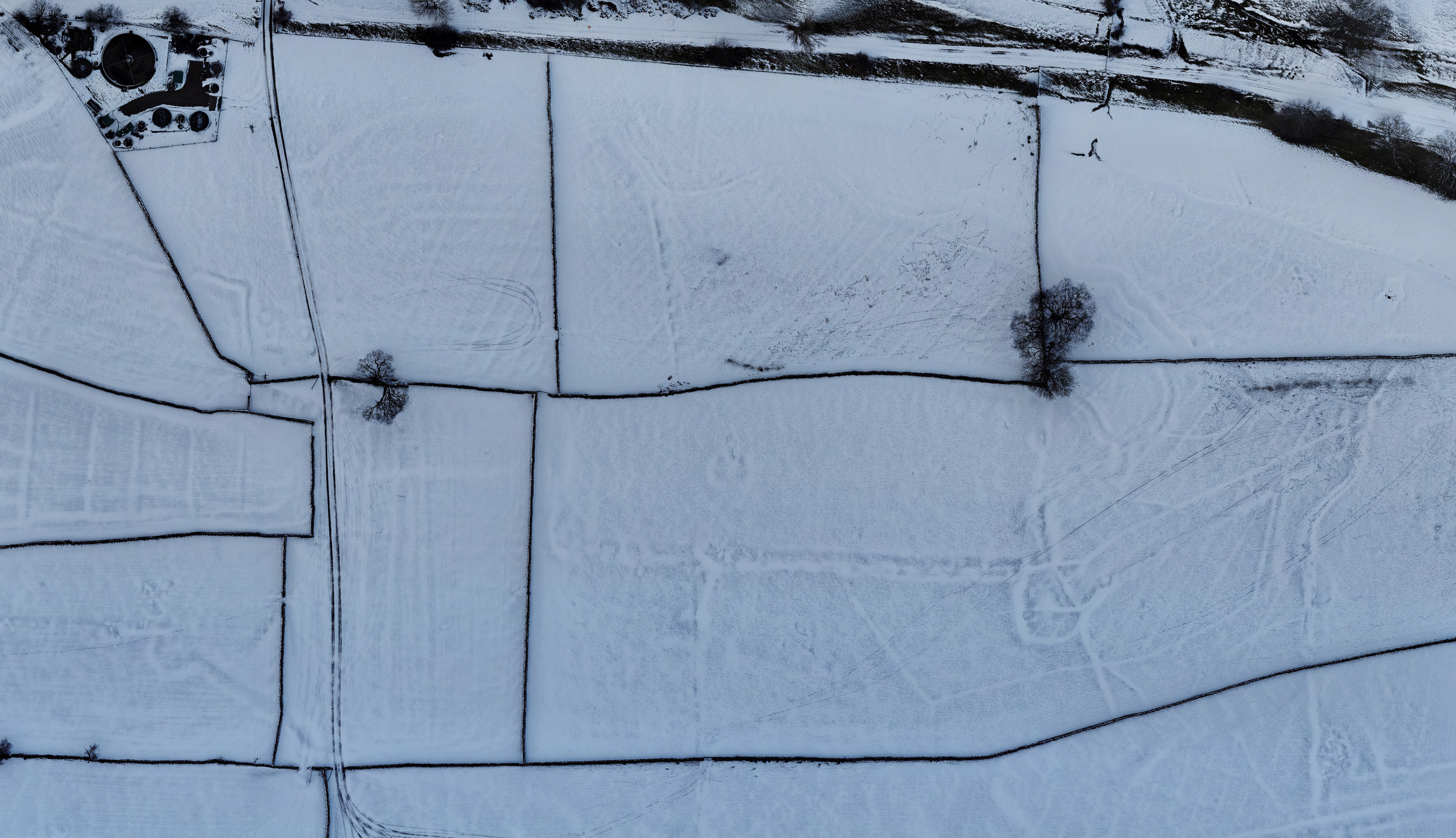
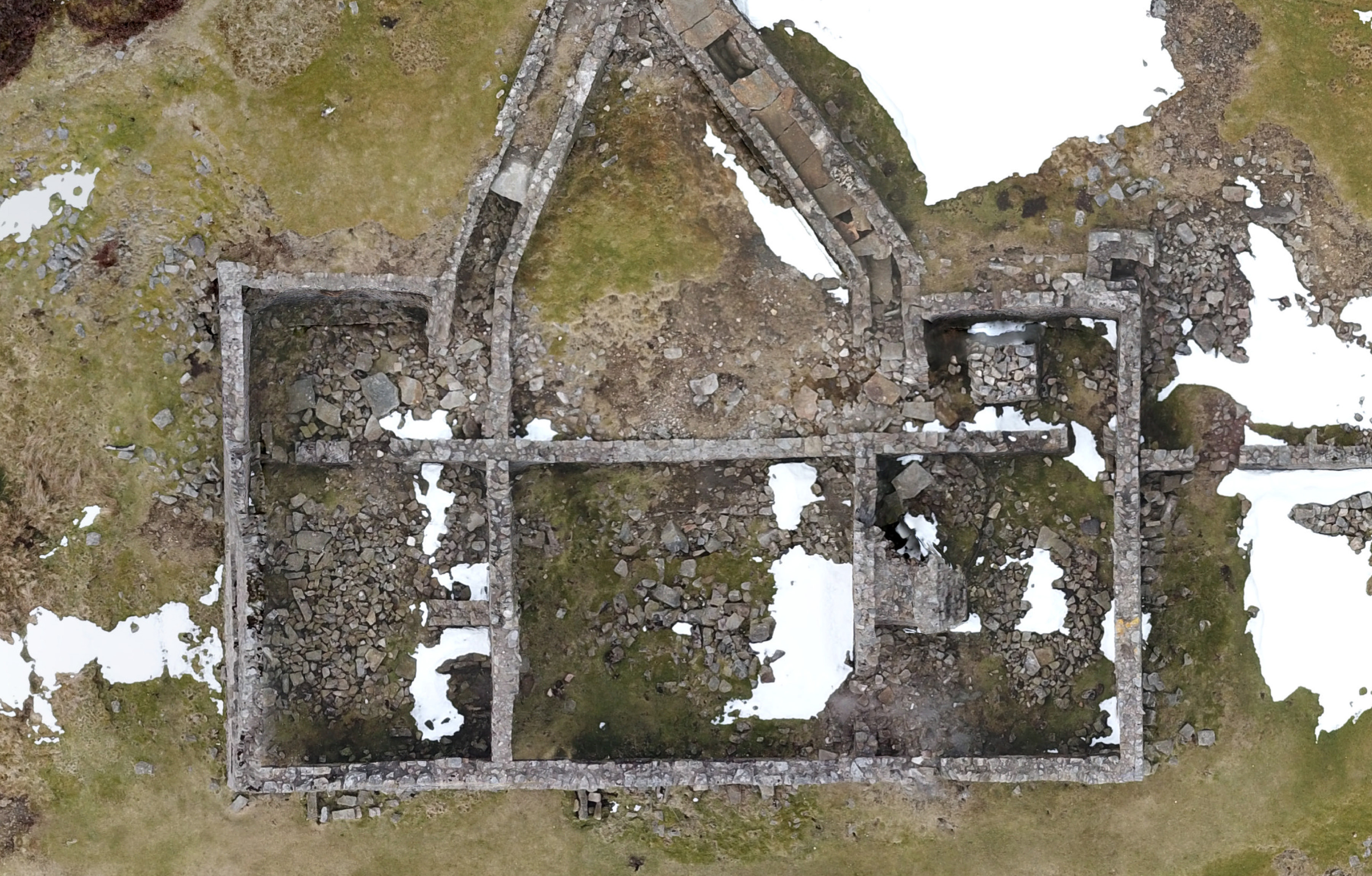
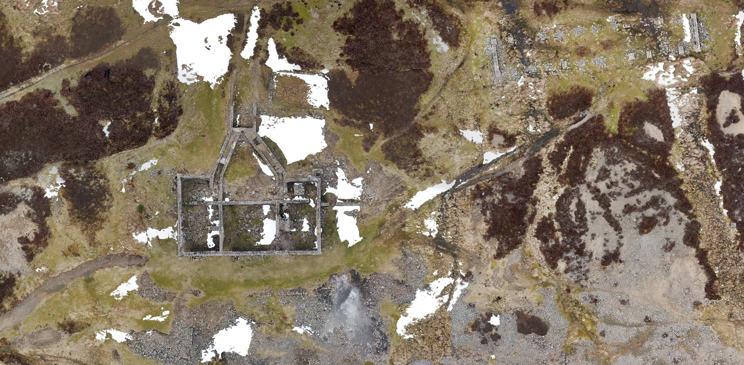
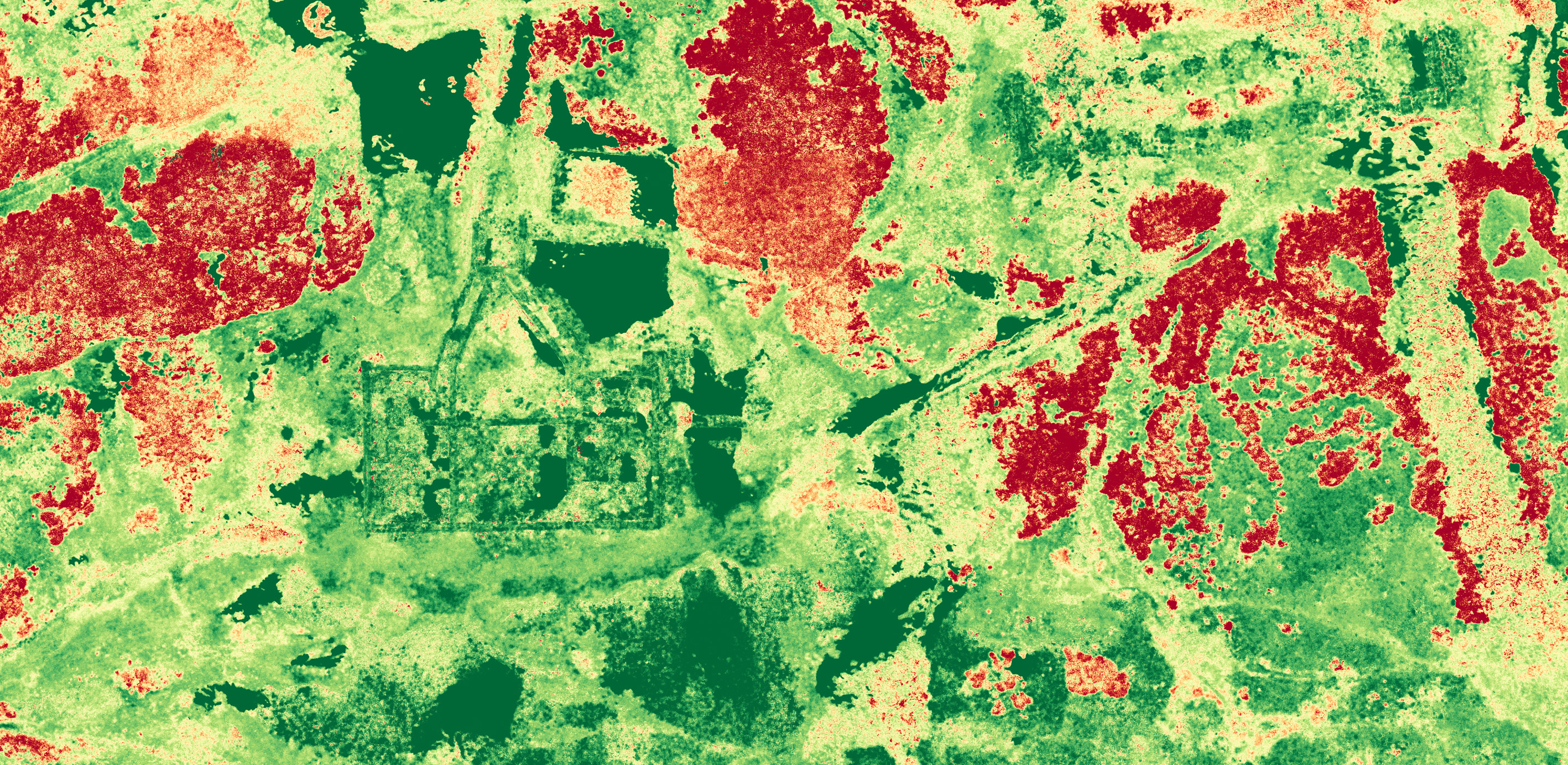
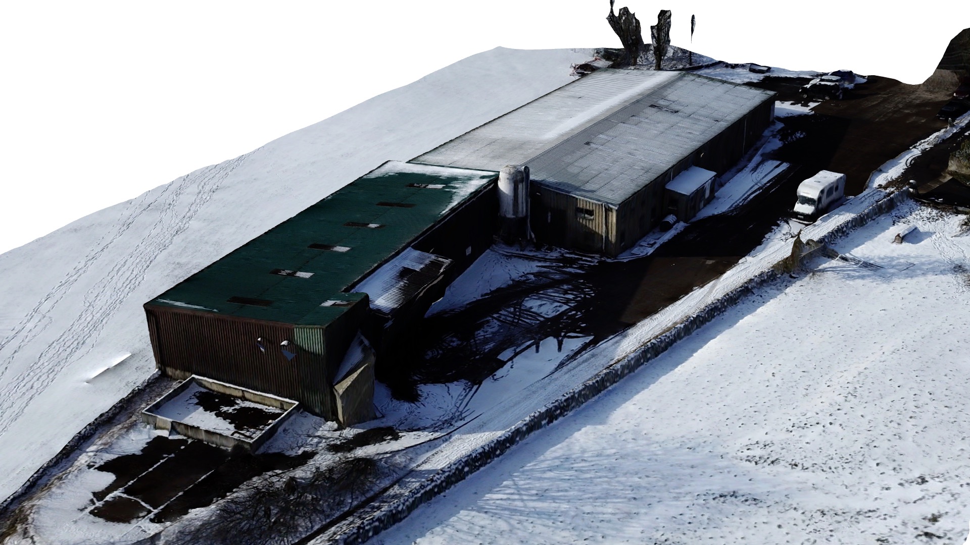
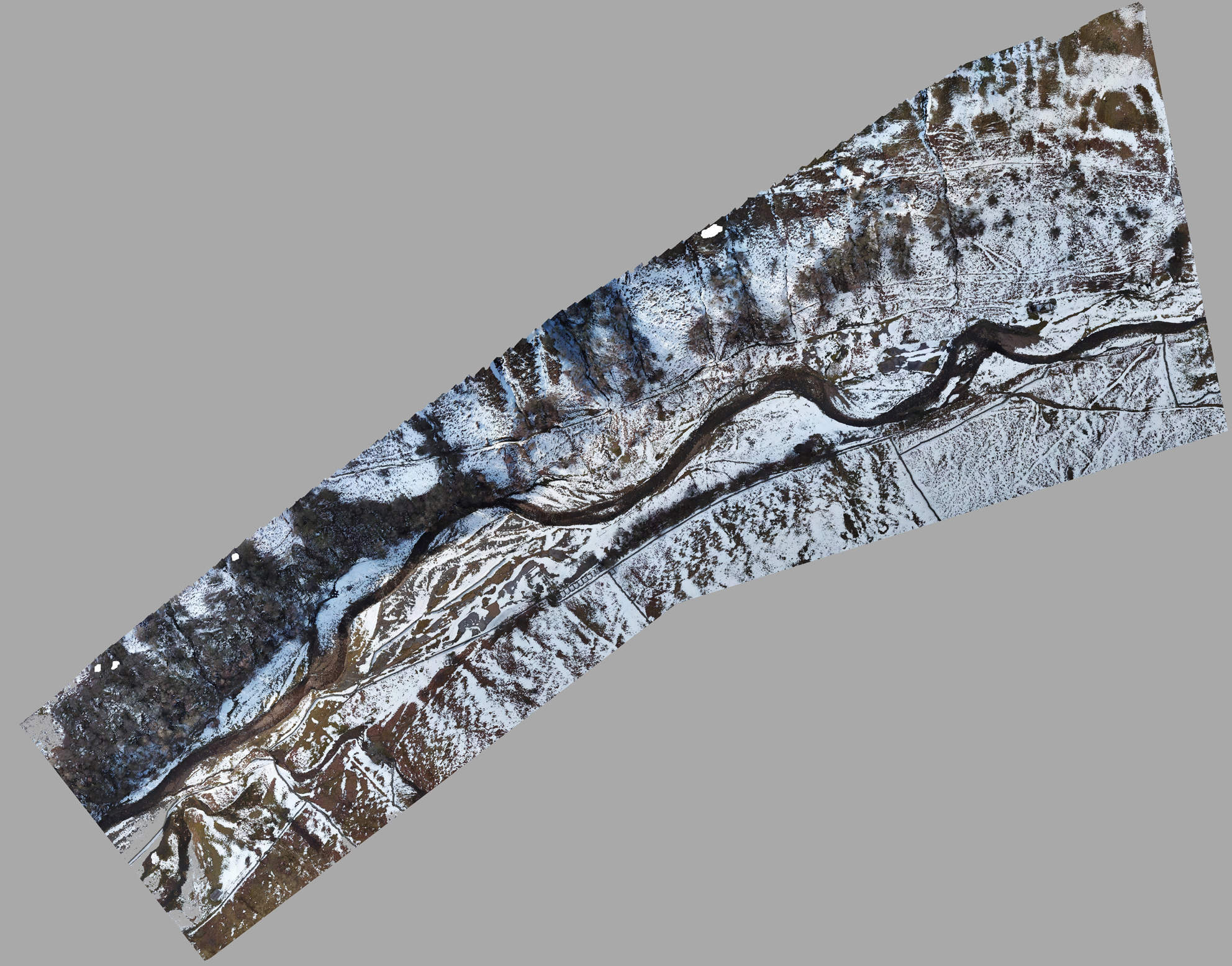
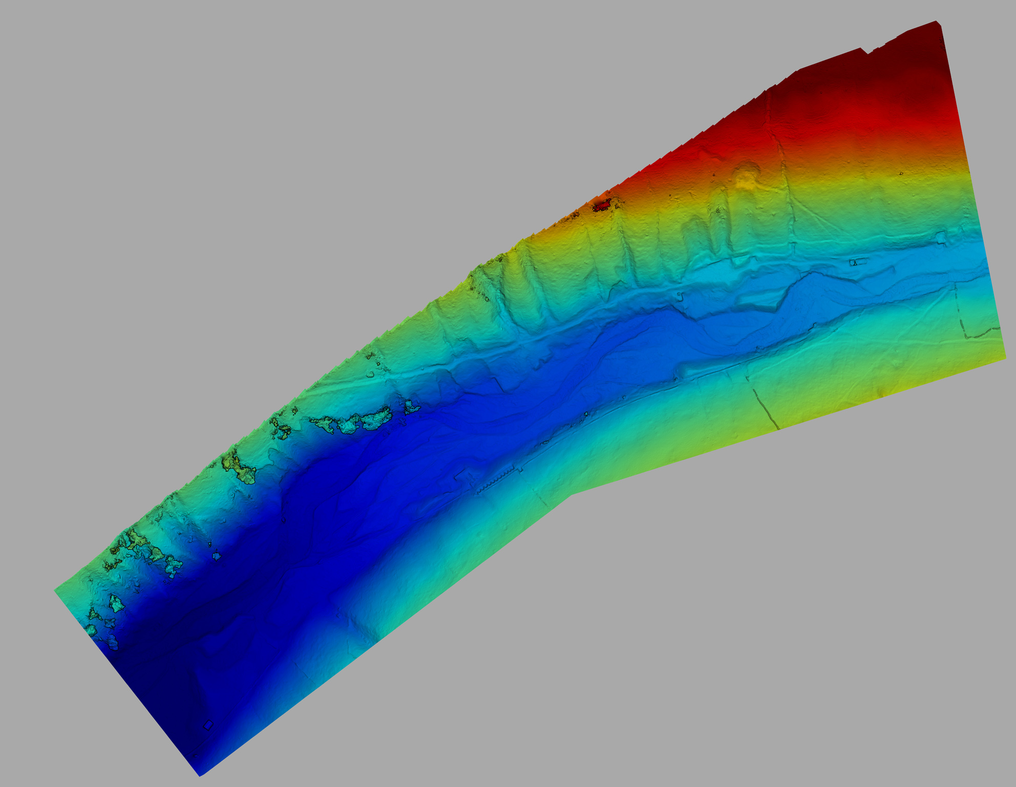
A new and highly exciting development in the world of drones is the ability to create ultra high resolution aerial maps and 3d models. Software creates a flight plan and the drone flys over the site taking downward facing photos. These are then stiched together to create completely up to date, high resolution aerial photos, from which terrain maps, crop health maps and 3D models can be created.
The main uses for these are within agriculture where the ultra detailed photos can be used to see any areas crops are not growing properly, which is aided by crop health maps. Results can be saved and shared online so it is easy to see progress over the year. The other big field of application is within the contruction industry, where detailed site plans and elevation maps are essential. To add complete golabal accuracy, ground control points can be added to surveys to give accuracy to approximately 2cm.
The images above are from a variety of sites in the Yorkshire Dales, including some of the old leadmines in Swaledale. The implications for archeological work are truly amazing and as can be seen, the resolutions is incredible, around 1000 times that of Google Maps. Below are animated renderings of some of the 3D models.